How-to
An interactive Atlas offers thousands of maps with up-to-date information on all countries of the world for a true global perspective. The Atlas allows users to click, scroll, and zoom to view a broad assortment of physical, political, and thematic maps.
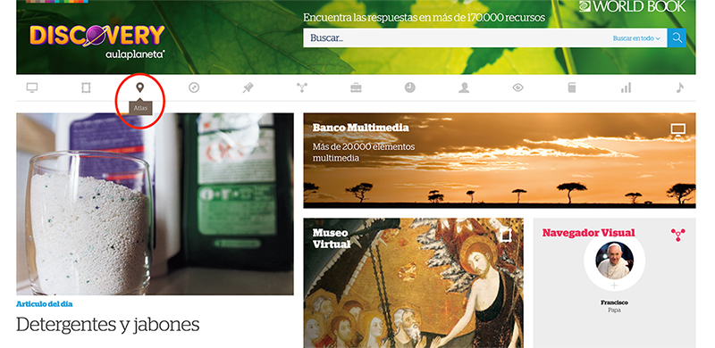
You can find Atlas in the feature bar at the top of the homepage, indicated by the brown location icon.
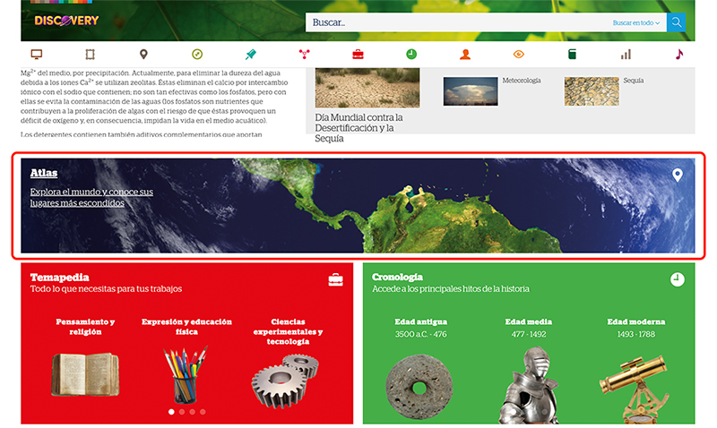
You can also find the Atlas feature listed further down on homepage. Scroll down and you'll see the Atlas, listed with the matching brown location icon.
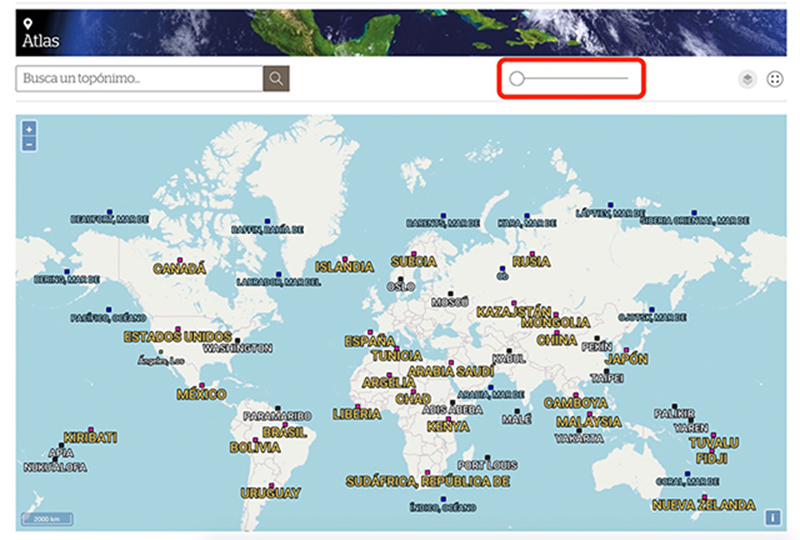
Once you click on the Atlas, you'll be brought to an interactive map.
You can zoom in an out on the map using the slide tool at the top of the page.
You can also view the map in full screen.
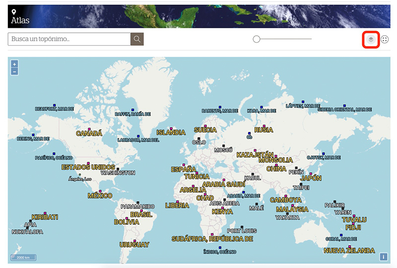
You can add or remove layers using the Capas tool.
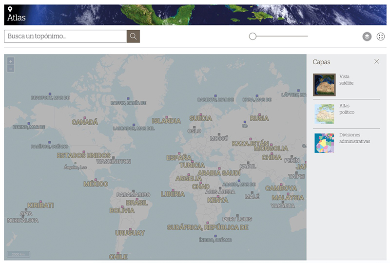
Here, you'll find 3 different layers that you can toggle on or off to customize your view of the map.
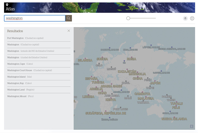
You can search for a specific place on the map using the search bar in the top left.
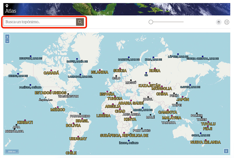
Choose from the list of search results to learn more about that place.
